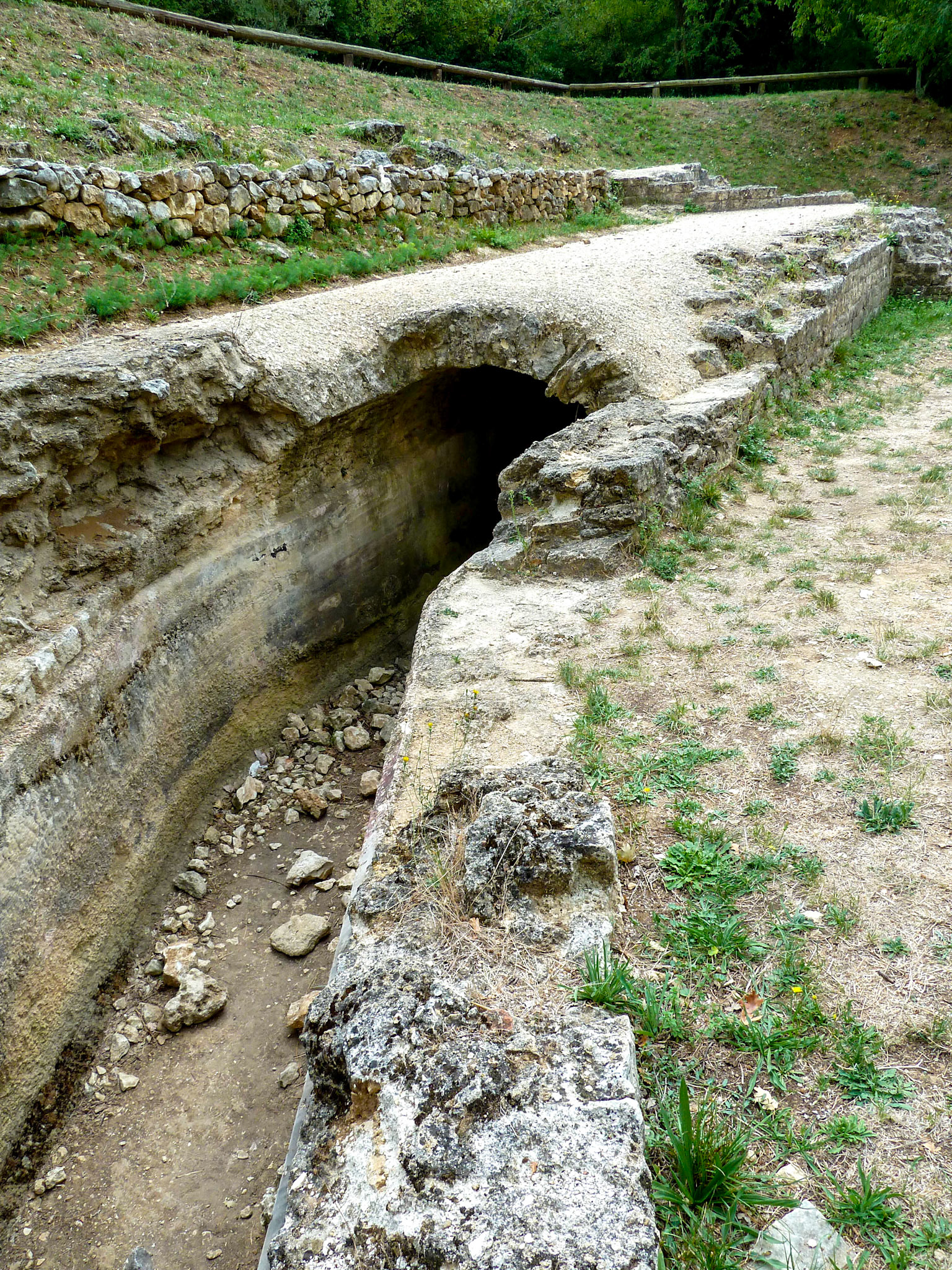
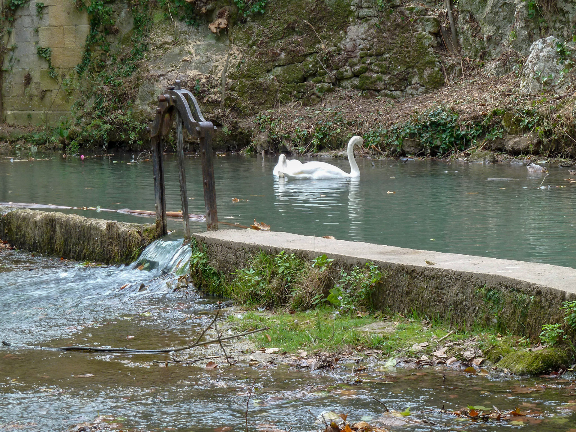
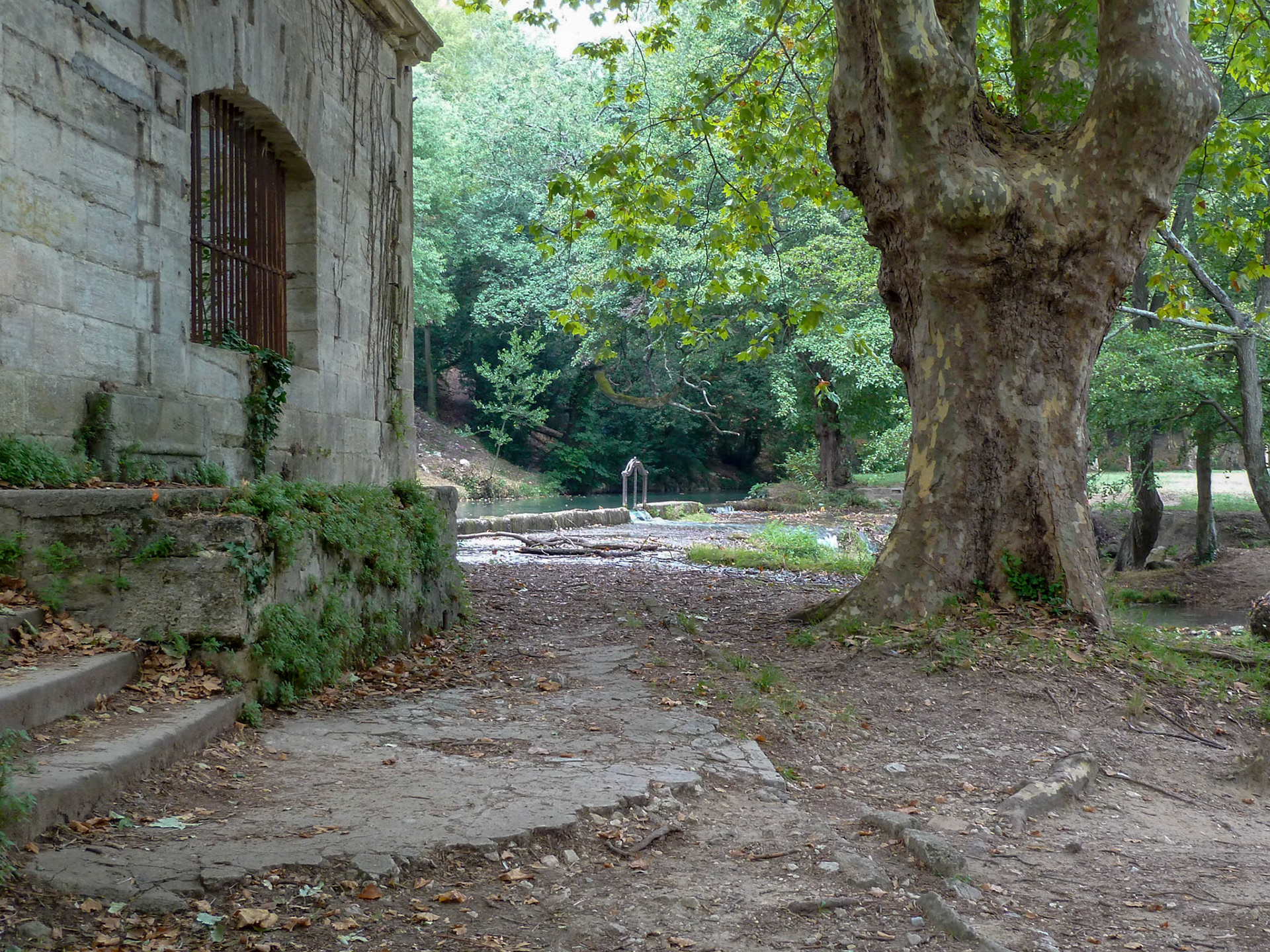
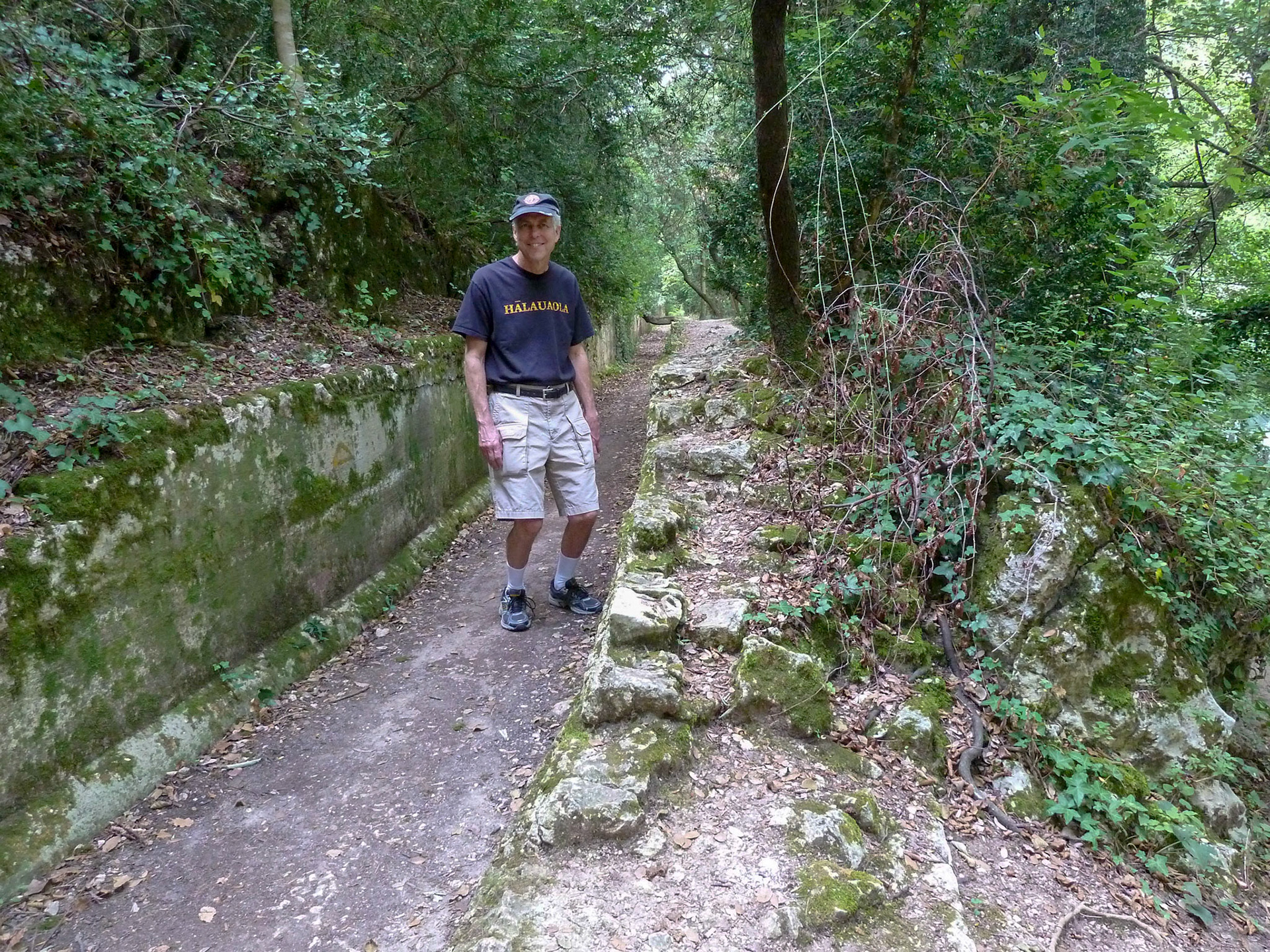
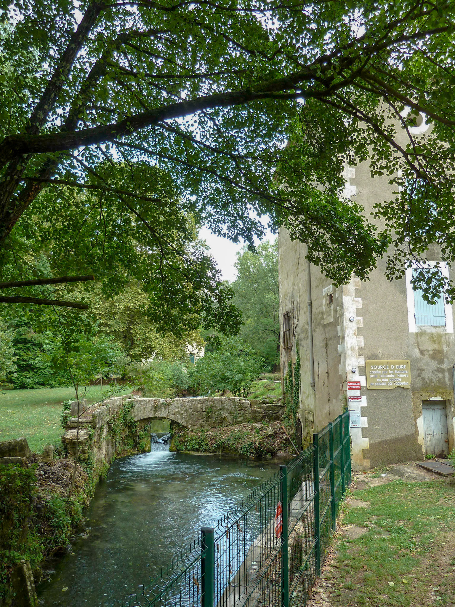
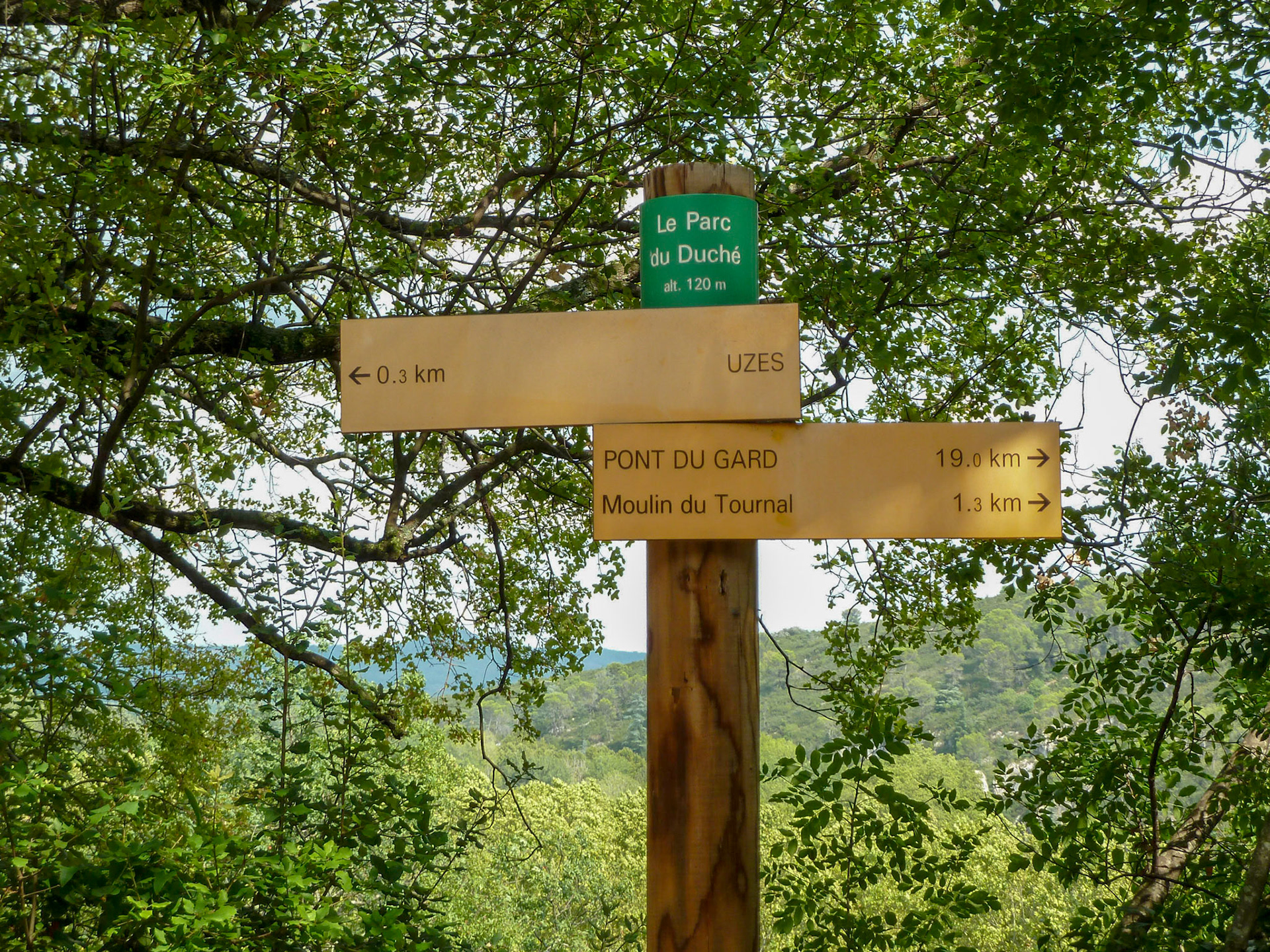
Almost every foray into the streets of Uzes brought new discoveries. Of considerable interest was a hike along the stream below the town that provided the source of the waters that supplied distant Nimes. Here's an excerpt from a website on the aqueduct that begins at Uzes:
The Nîmes aqueduct is THE Roman aqueduct "par excellence", one of the most famous, most spectacular and best researched aqueducts of the Roman empire. Its main bridge, the Pont du Gard, is what most people have in mind when the word aqueduct is mentioned, and justly so.
The aqueduct is special for several reasons. The only suitable source that the engineers could find for the water supply of Nîmes was at Uzés, 25 km to the north at 72 m altitude. The problem was that the source was at only 11.8 m above the site of the future castellum divisorium (the water distribution basin) at Nîmes at 60 m altitude. It was therefore necessary to make the aqueduct as short as possible. A direct straight connection was not possible since the high hills of the garrigue de Nîmes, 200 m high, blocked the way. A 10 km long tunnel would have been necessary to overcome these hills. The only workable solution was a trajectory around these hills to the east, lengthening the aqueduct to 50 km. Here, there were two other major difficulties; first of all the Gardon river, which runs in a deep gorge, would have to be bridged. Upstream this could be done with a low bridge, but this would lengthen the trajectory. A choice was therefore made to bridge the gorge along the most direct route, and where the gorge was relatively narrow. As a consequence the bridge, the future Pont du Gard, had to be higher than anything previously built, nearly 50 metres high and 300m long. A siphon, known from other aqueducts, could not be used here since it needs a sizeable difference in altitude between abutments to create sufficient water flow through the pipes, and this was not possible here.
A second problem was a lake on the trajectory which was at 67 metres, 3 metres ABOVE the projected level of the aqueduct. To circumvent this lake, another 20 km had to be added to the trajectory and this was out of the question; this lake therefore had to be emptied and drained before the aqueduct could be built. Finally, to make the trajectory as short as possible, a large number of minor bridges had to be built and several tunnels, up to 400 m long had to be dug. The result is an aqueduct of 50 km long with a mean gradient of 34-25 cm/km (about 0,03%), with a maximum of 45 cm/km near the source and near Nîmes, and only 8 cm/km in the long central section! To build an aqueduct in rough hilly, forested terrain without GPS or modern measuring equipment with such a low gradient is one of the greatest feats of Roman engineering recorded to date. http://www.romanaqueducts.info/aquasite/nimes1/index.html
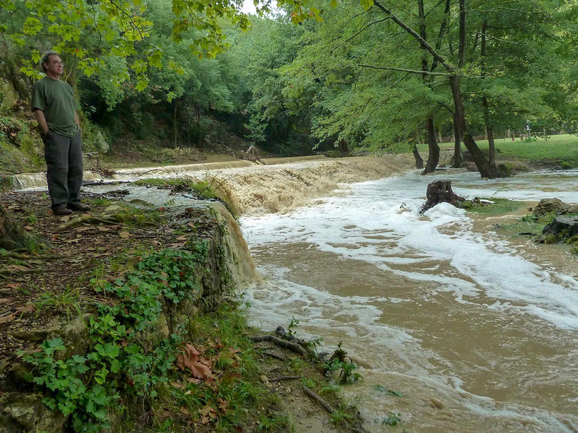
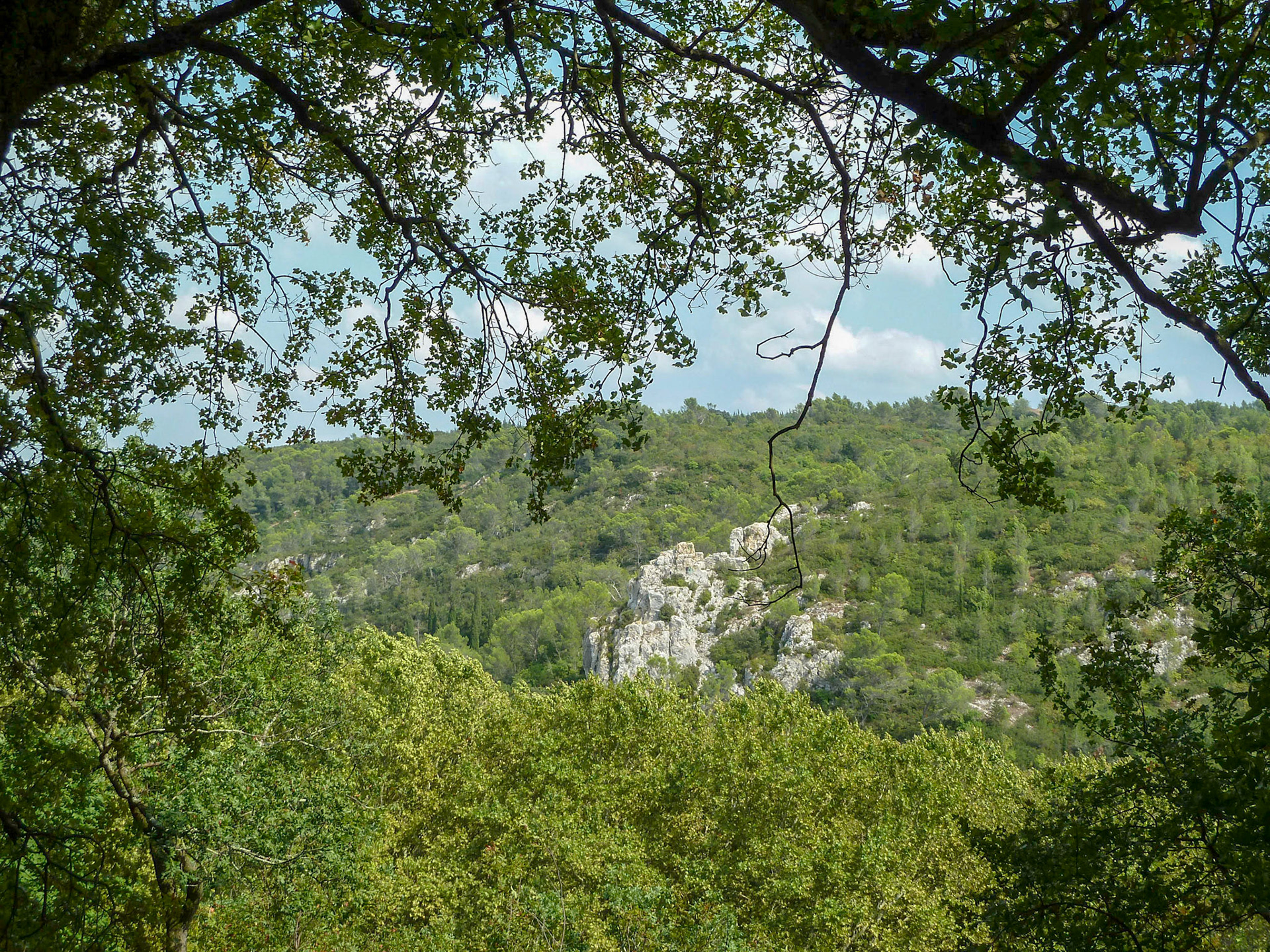
This is utterly amazing. And having visited Pont du Gard twice, witnessing the magnificent architecture that bridges this volatile river, the source might seem anticlimactic. It's not.
We got to stand in the ruins of the original aqueduct only a stone's throw from its beginning in a valley below Uzes. An easy walk. Now, after a day or two of violent storms had caused the adjacent stream to overflow its banks in many places, it was potentially dangerous to cross and was washing out a section of the trail we'd hoped to hike. In our first visit to Pont du Gard in 2004, we'd had a picnic among old trees along the bank of the Gard when it was at its late-season shallowest. Wading, swimming, and canoeing beneath the massive construction of the Pont were a treat we shared with many other tourists on a hot, late summer day. When we visited on this trip, it was after severe storms had completely flooded the valley of the Gard and stripped the topsoil and vegetation—along with the old trees that had shaded us—from the banks, leaving rock smoothed by ages of earlier floods. But Pont du Garde shows suprisingly little wear.
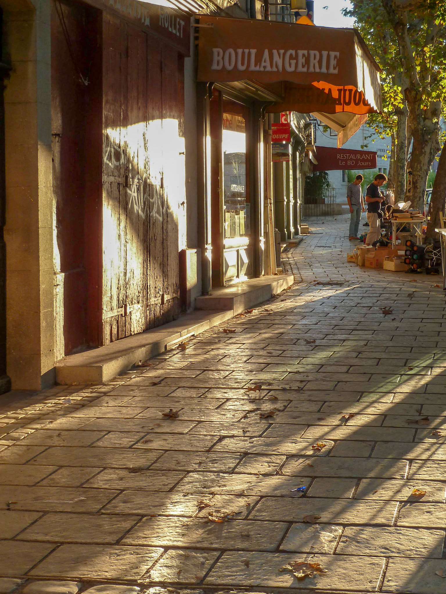
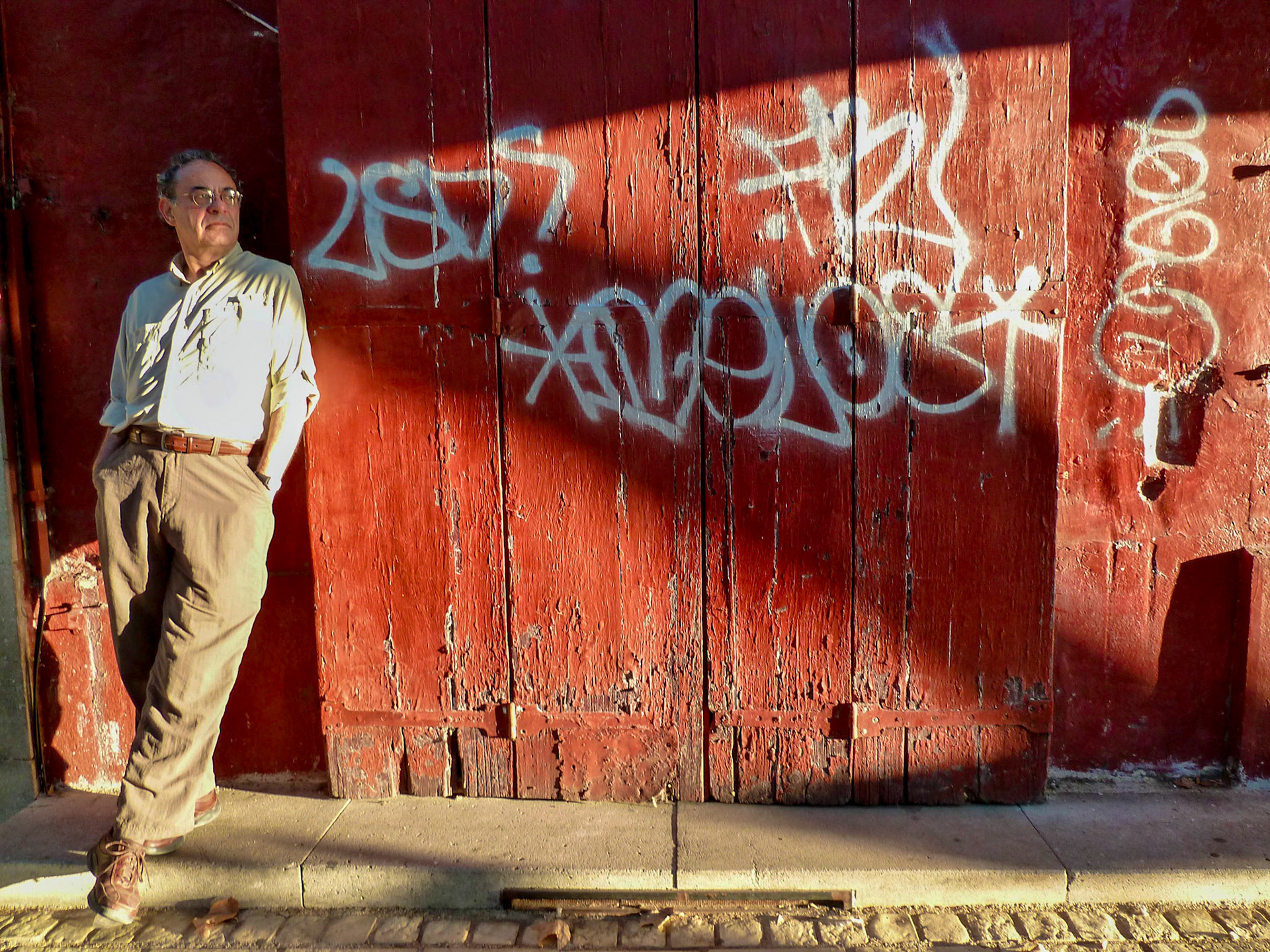
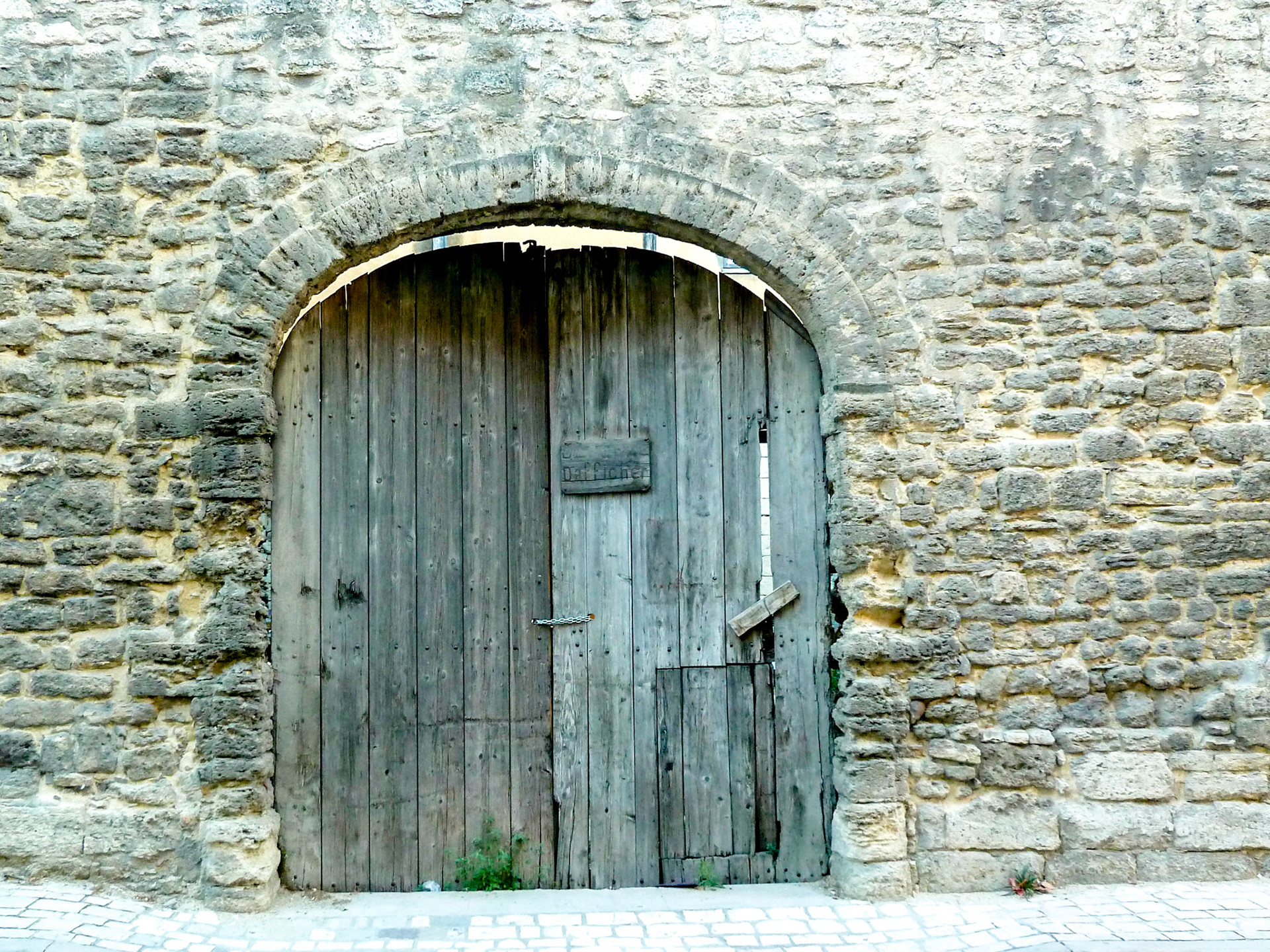
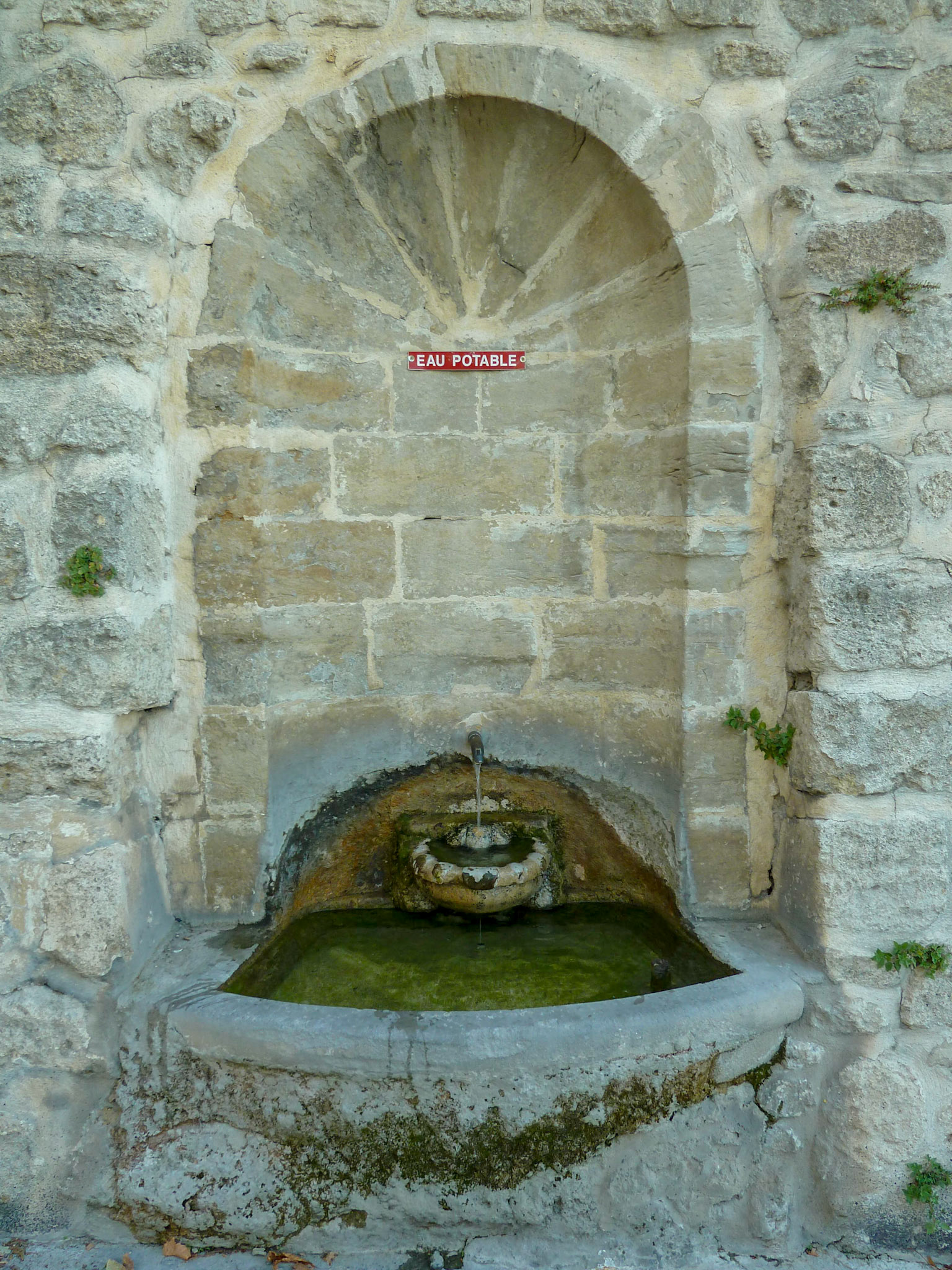
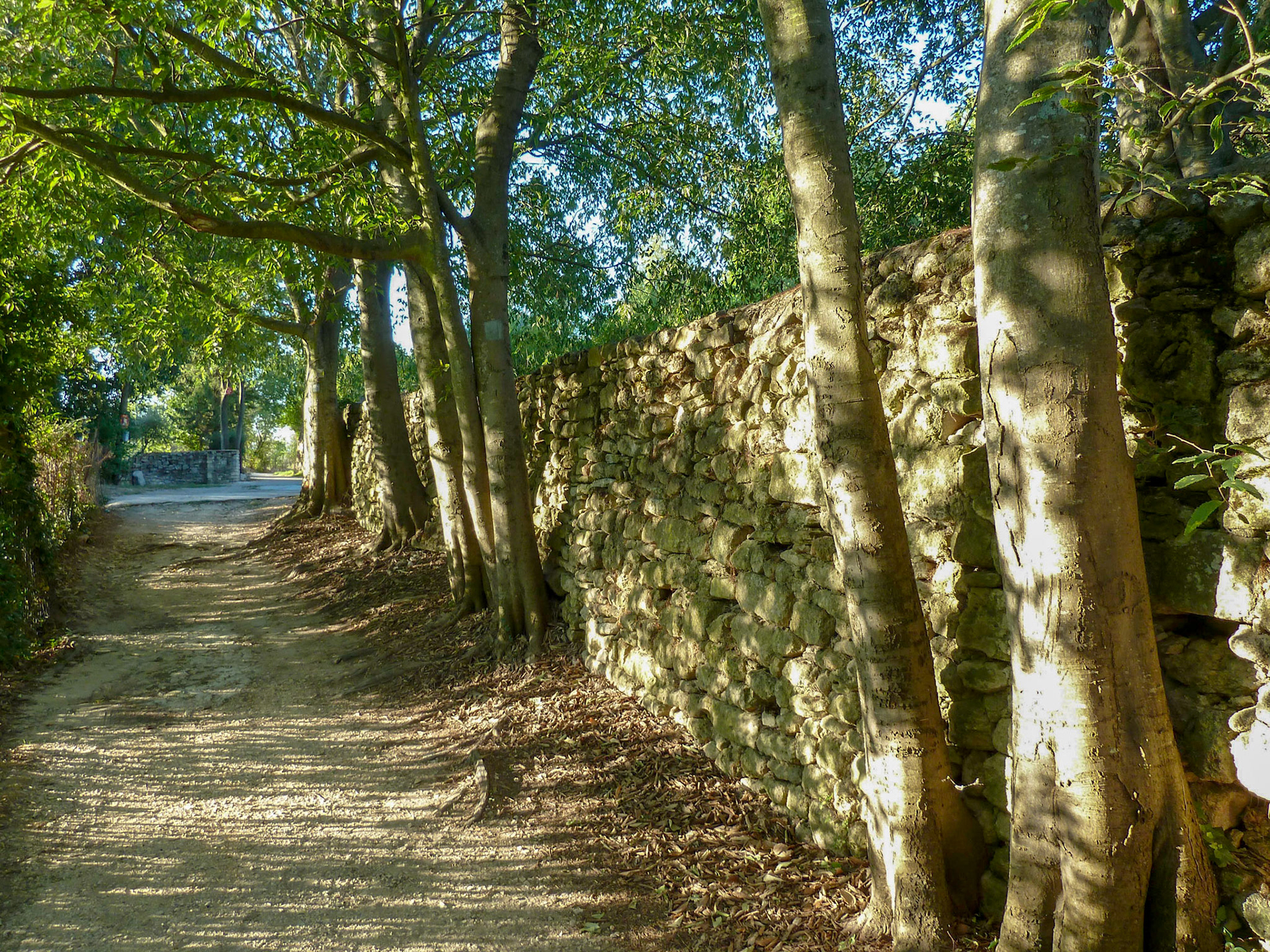
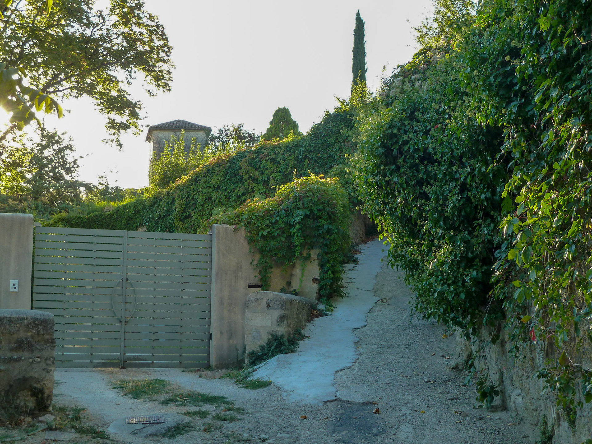
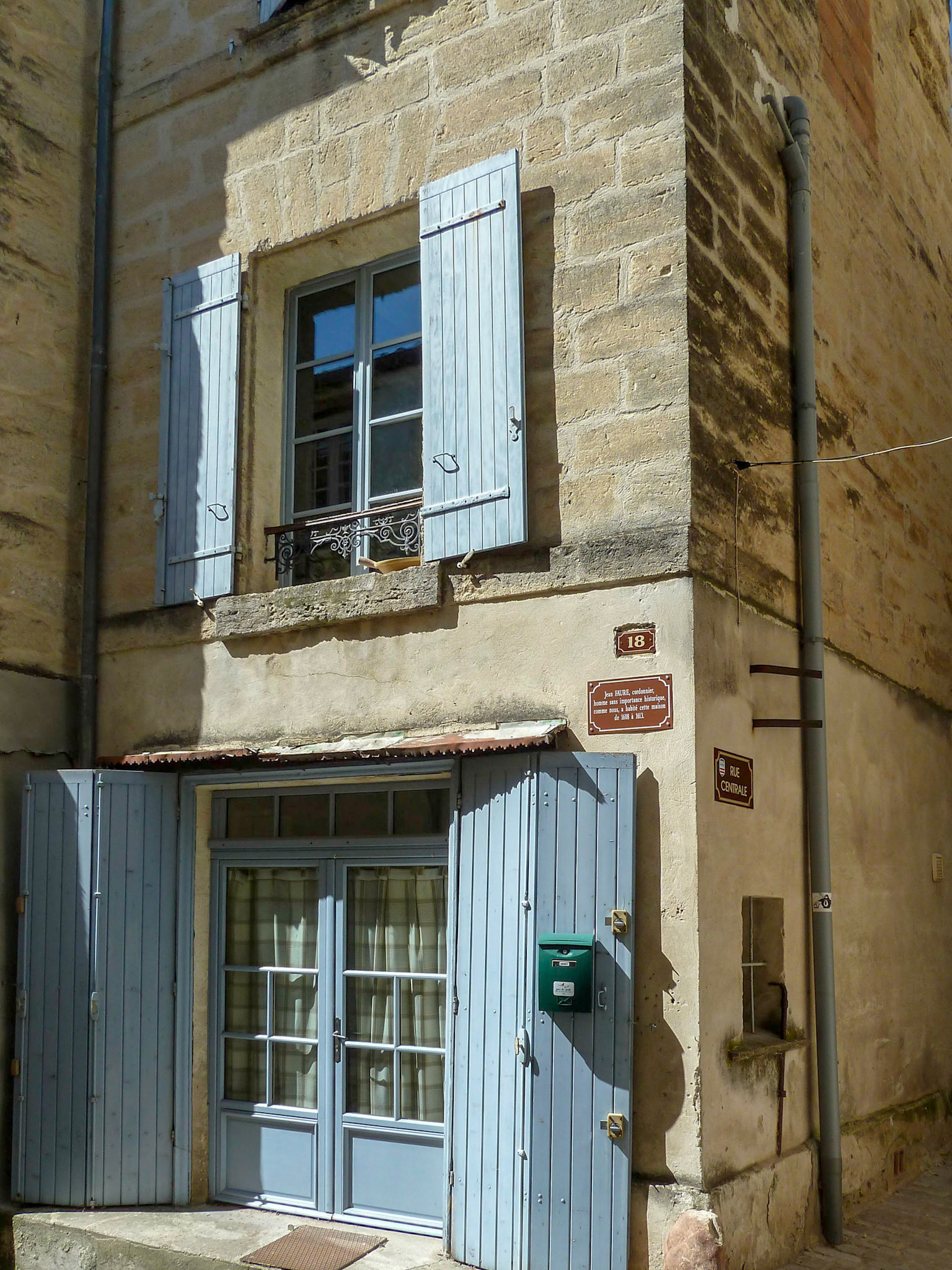
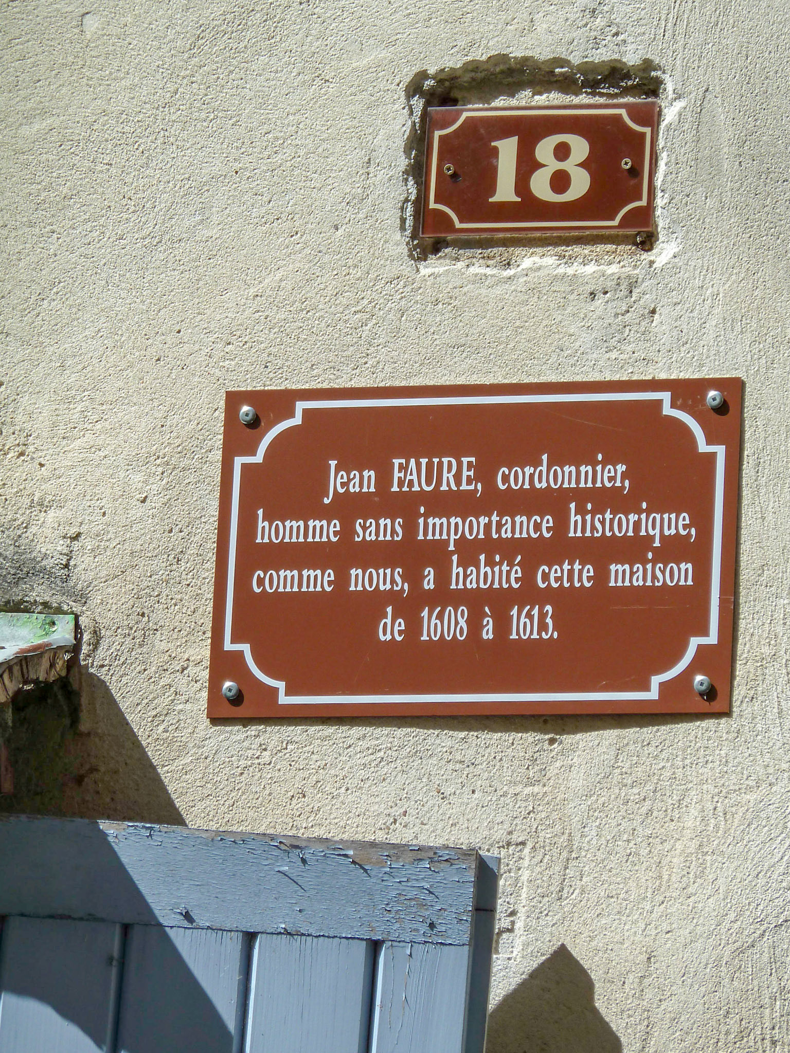
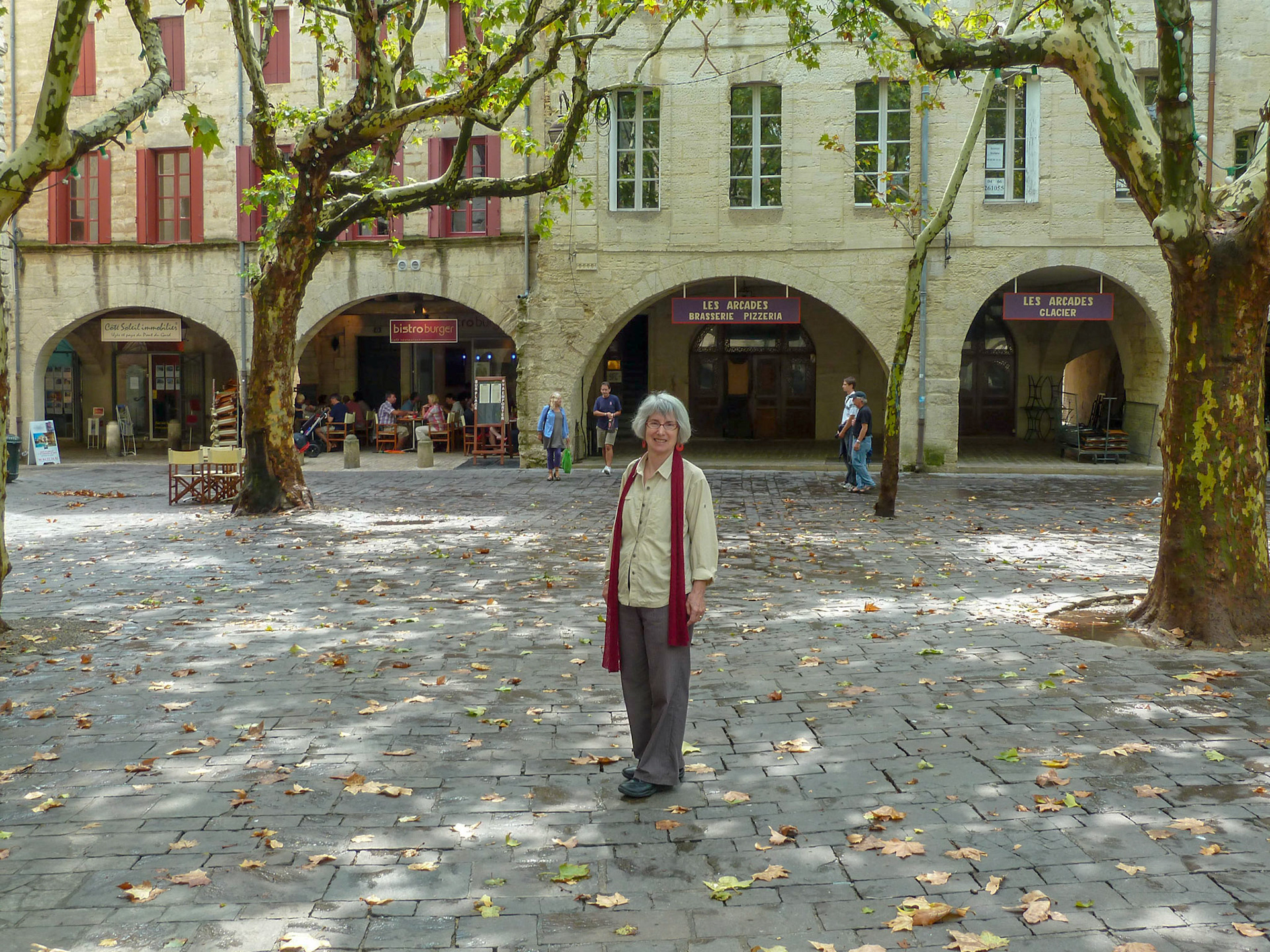
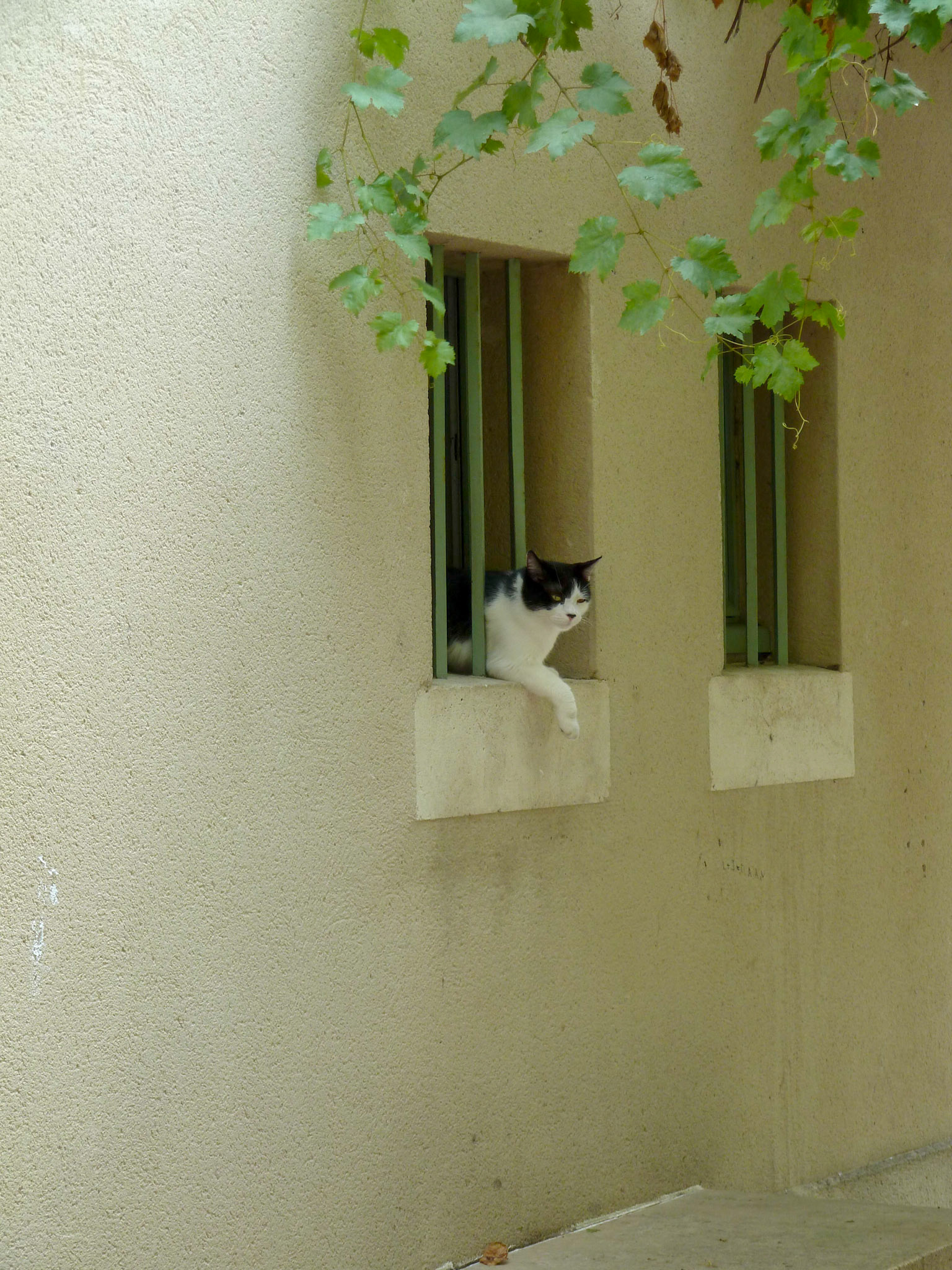
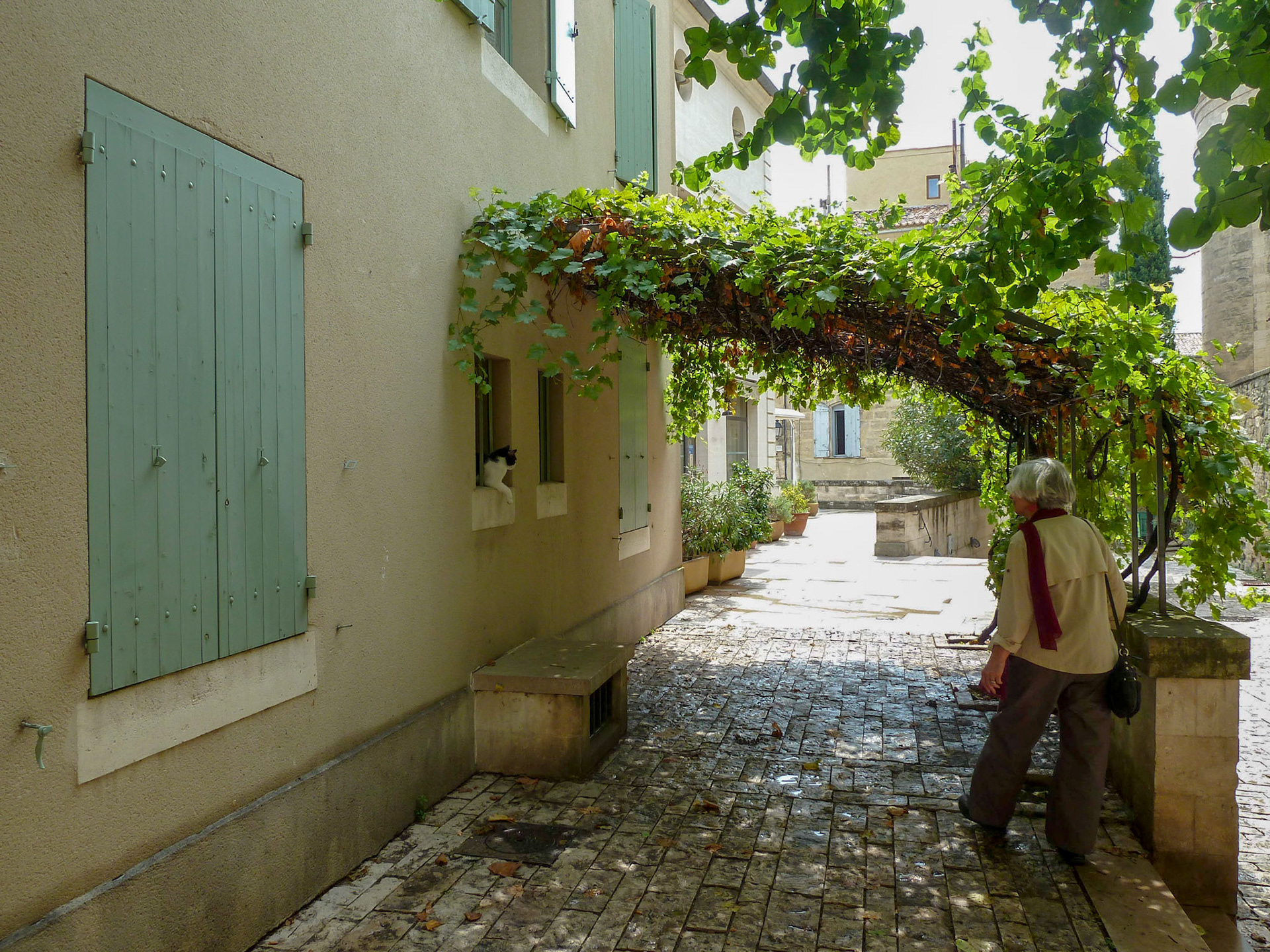
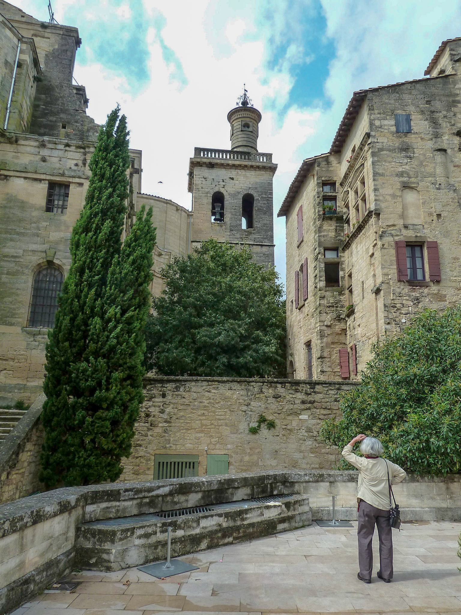
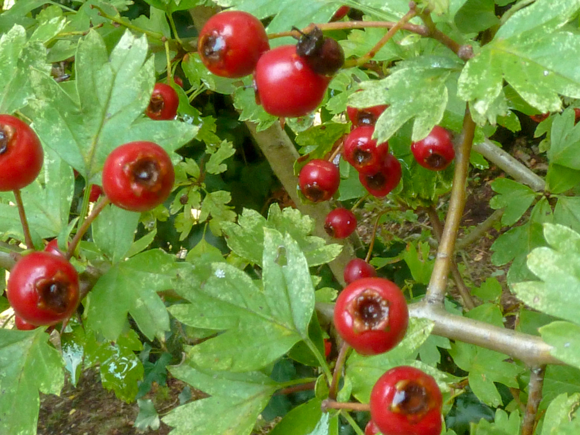
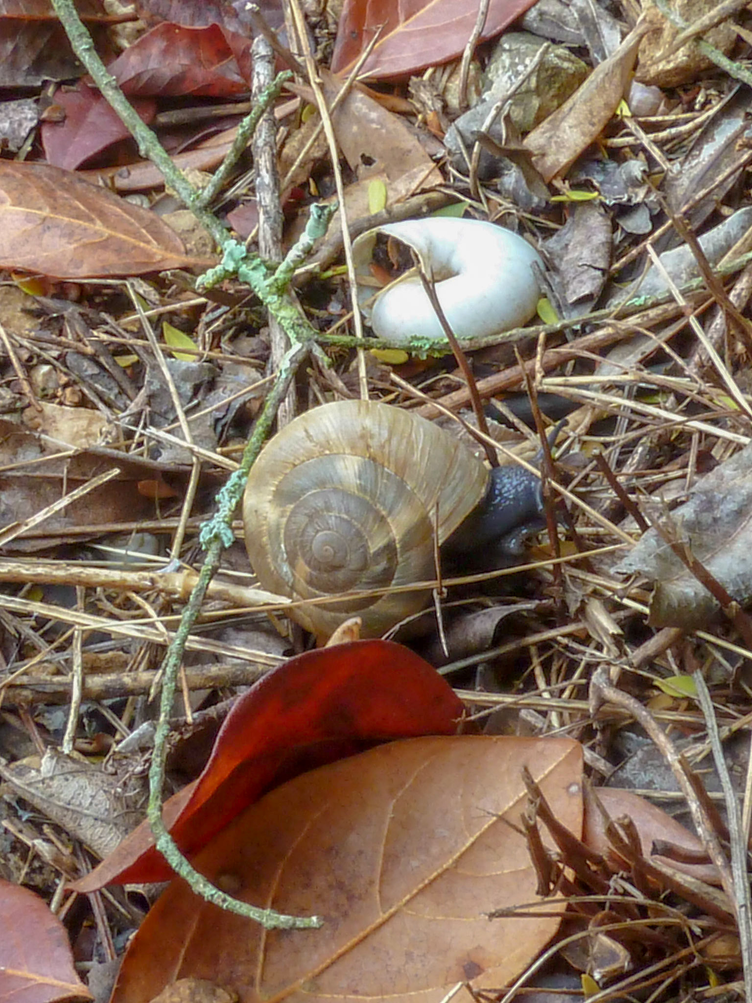
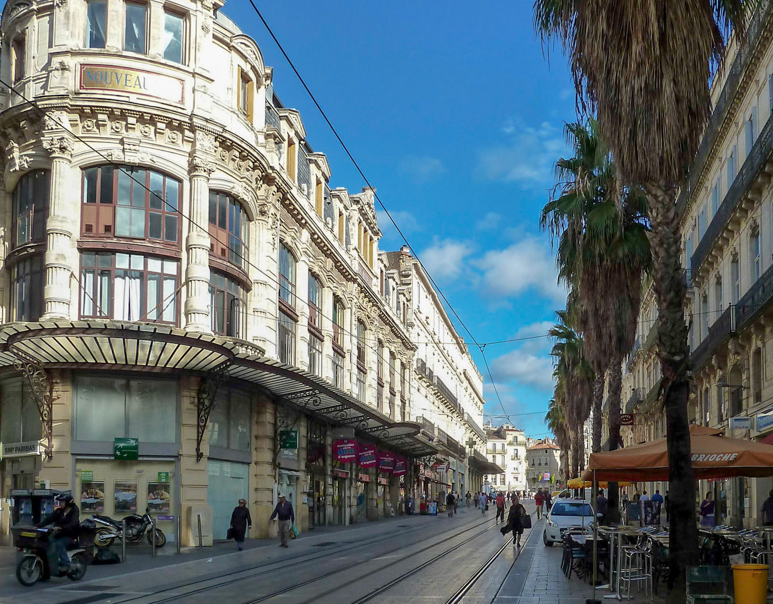
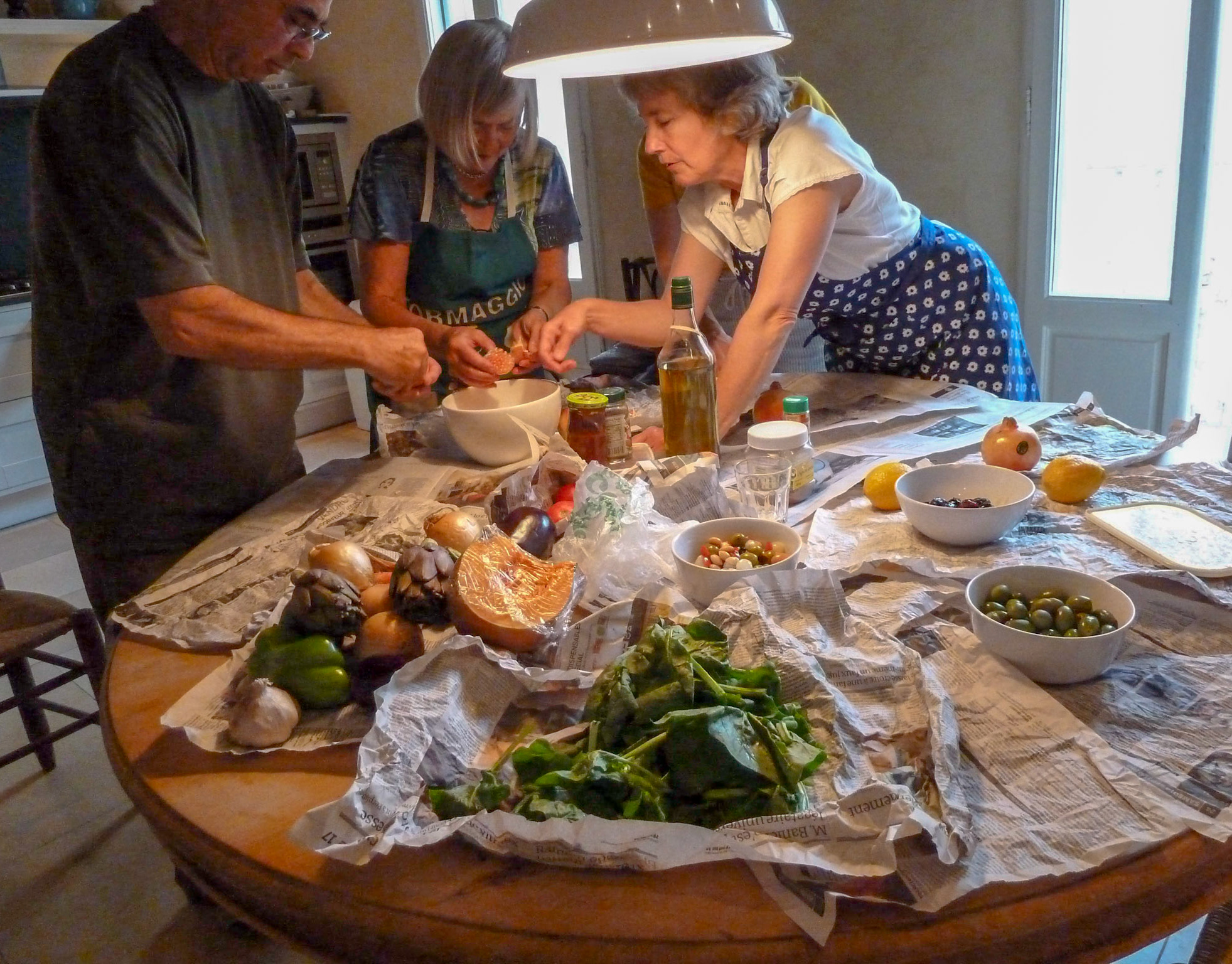
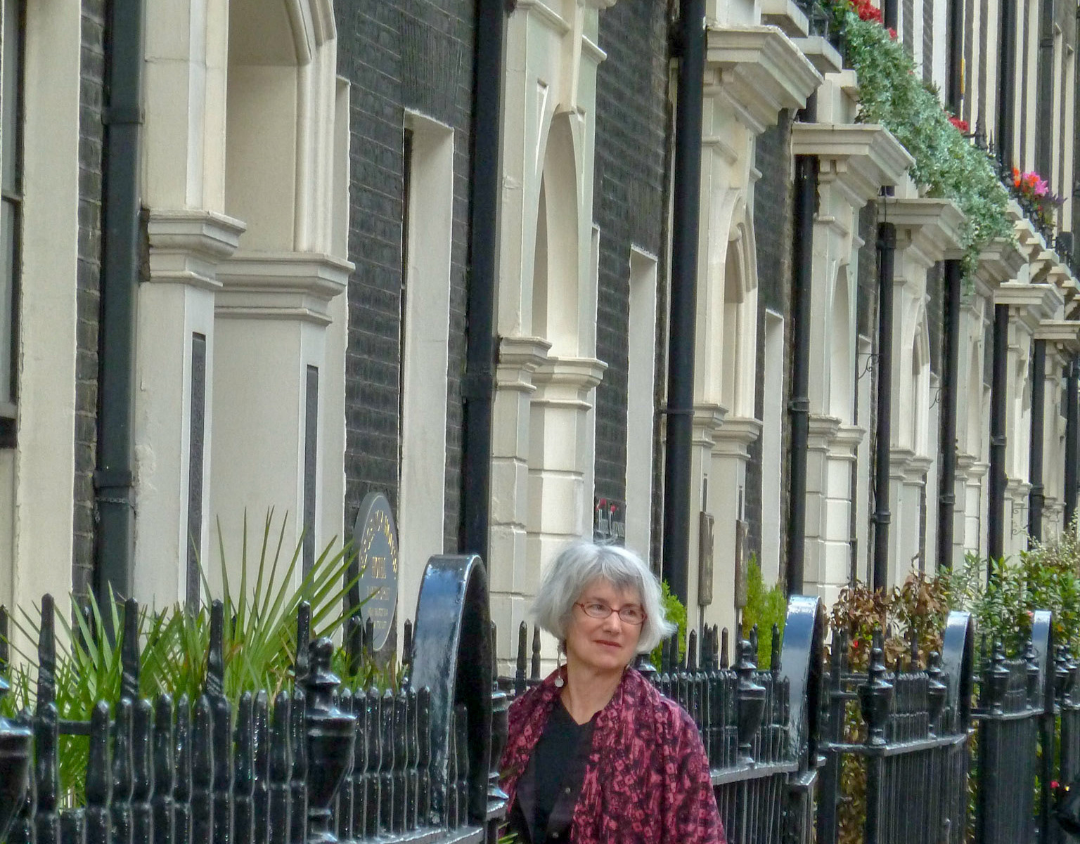
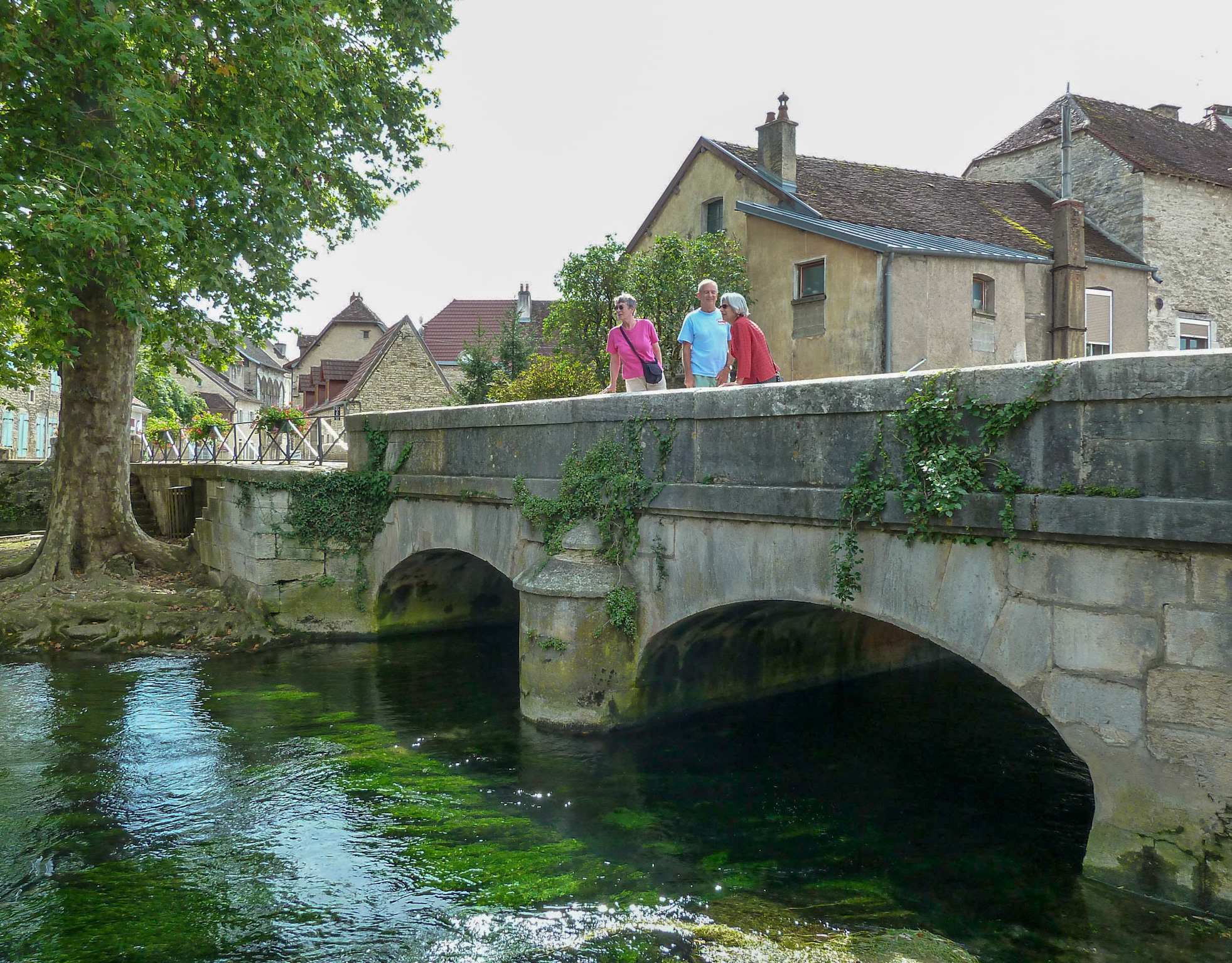
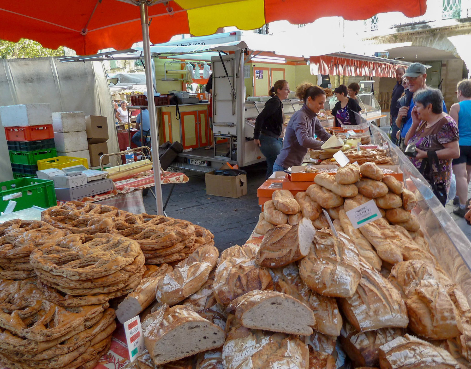
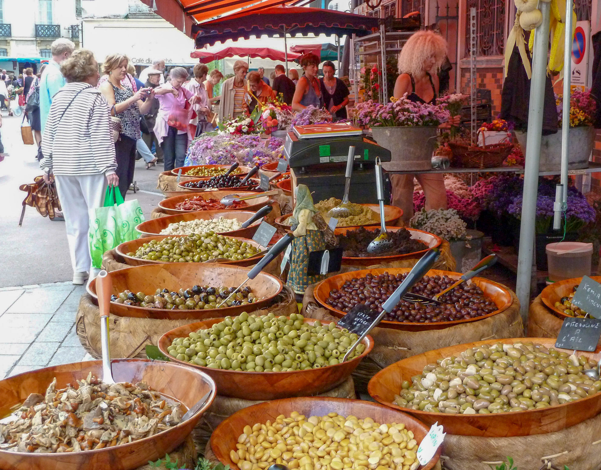
These photos are from several walkabouts in and around town. We got a lot of walking in and saw the back side of things, the next hollow over. We also sat around in groovy outdoor cafes in the shade of old plane trees or masses of wisteria or gnarled, ancient grap vines. We had the bounty of the market, but we also had the help of the local shops and we began to get the drift.
I recognized people and was recognized by them on the way to the boulangerie and waiting my turn there and at the newsstand. I began to recognize them in their jobs, if they worked in any of the businesses around the plaza or the ring road. They began to recognize me.